Essay and photographs by Seth Sypko
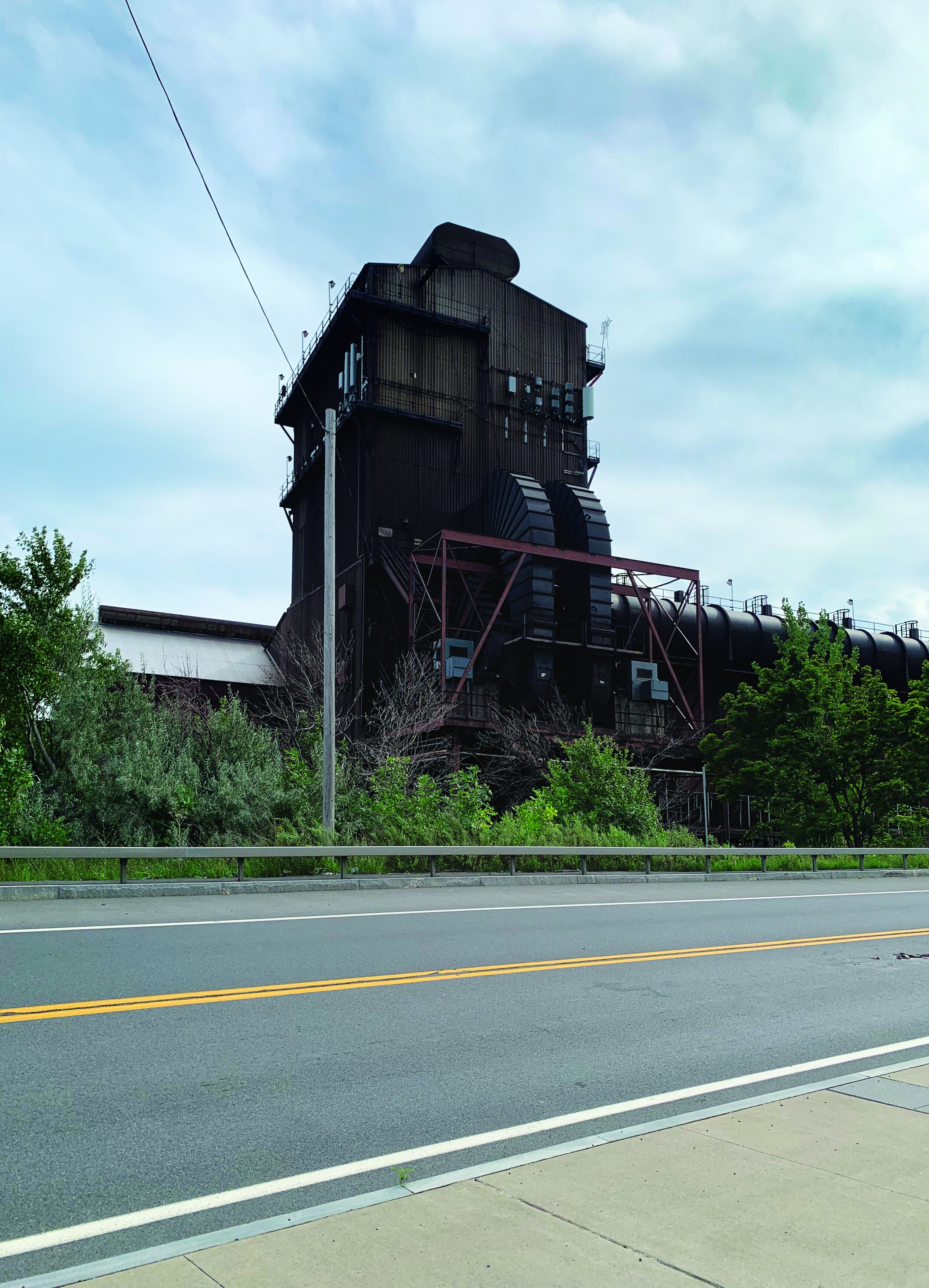
Growing up an arty, introvert kid in1980’s Utica, NY wasn’t spectacular, but was at the very least, interesting. Like many small rust belt cities in the NE at the time, Utica was going through a rough transition. While the city prospered in the late 19th to mid 20th centuries, by the 1970’s, political corruption, and a steep decline in manufacturing left Utica in a certain amount of ruin. Economic depression, a newly burgeoning refugee population, the rapid deinstitutionalization of non-violent residents of the recently shuttered Utica Psychiatric Institution along with a generational nostalgia for the “glory days” of the region led to fierce territorialism.
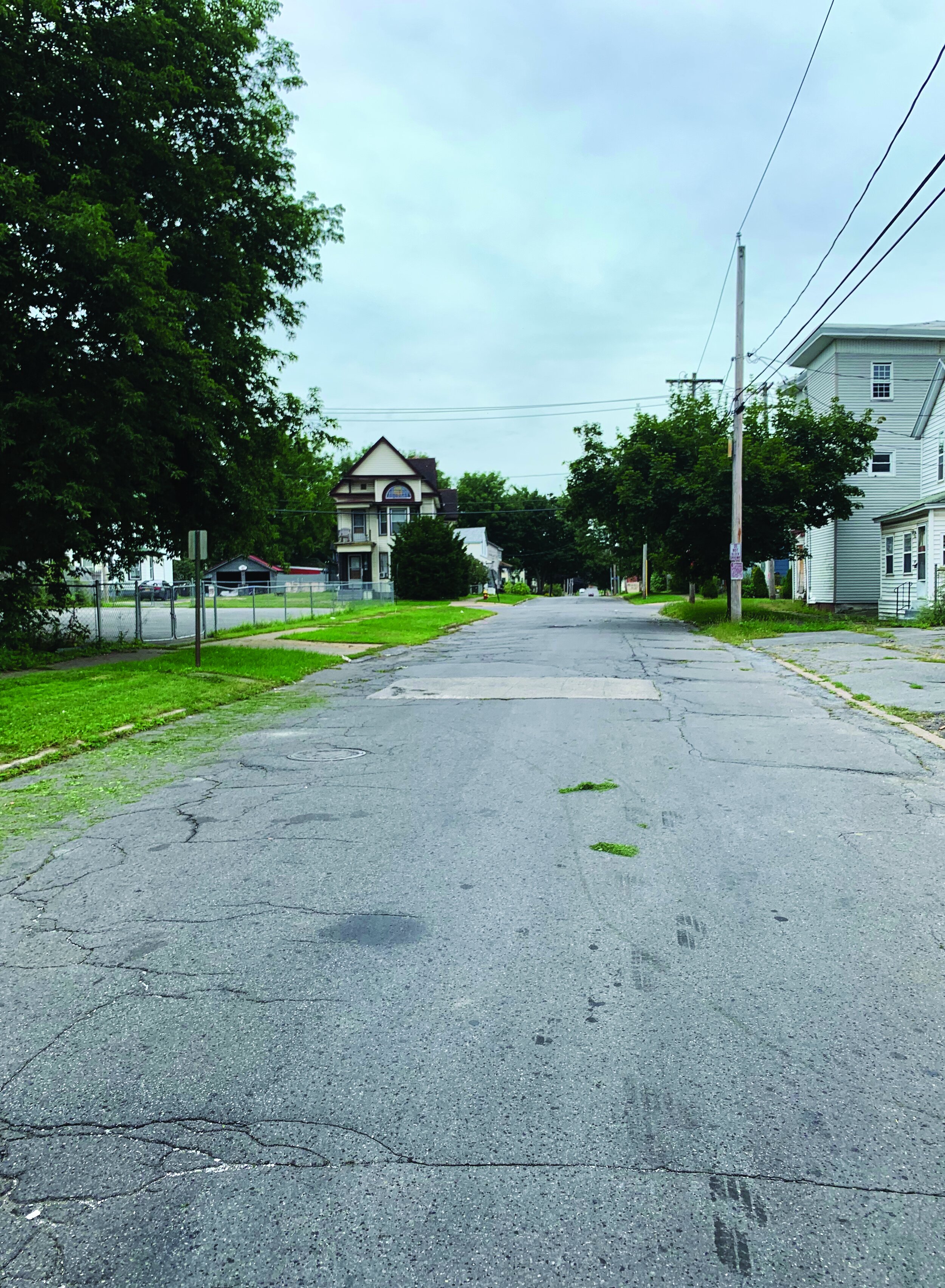
By the time I’d hit early adolescence, I knew every cut-thru, low fenced yard and building with multiple exits in the city. Safe zones were downtown and along the railroad tracks edging along west Utica. I’d clamber around the abandoned Saturday Globe newspaper building and the old semi-collapsed Durr Meat Packing Plant right on the border of junkyard lined Barnes Ave and the Utica Marsh…which were still too foreboding for me on foot. Those were the spots for mob hits and satanic rituals…or so the stories went. It wasn’t until I got a bicycle that I felt inclined to explore further. At least I had the ability to be a little more nimble when things felt sketchy. Eventually, I’d figure out that if I rode down Barnes Ave I could dip into the marsh and see what that was all about. More importantly, I discovered for myself that there was easy access to the towpath that runs along the 200-ish year-old Erie Canal. I used this as a link to neighboring cities and a jumping off point for longer rides up to the time I left the area in 2009.
Living on the West Coast and riding bikes a lot, I’d kind of blown off the canal trail as anything personally relevant. Though, in 2019, heard that there was a project, the Empire State Trail, to relink all the disparate segments of the old Erie Canal towpath. It was completed in 2020. I was a little bit interested, but also dismissive. That sounded like a huge project and my own lingering anti-hometown bias left me feeling like this would probably be a scraggly ribbon of dirt that snakes through brownfields or just dead ends in a cornfield miles from nowhere. Well, I was mostly wrong.
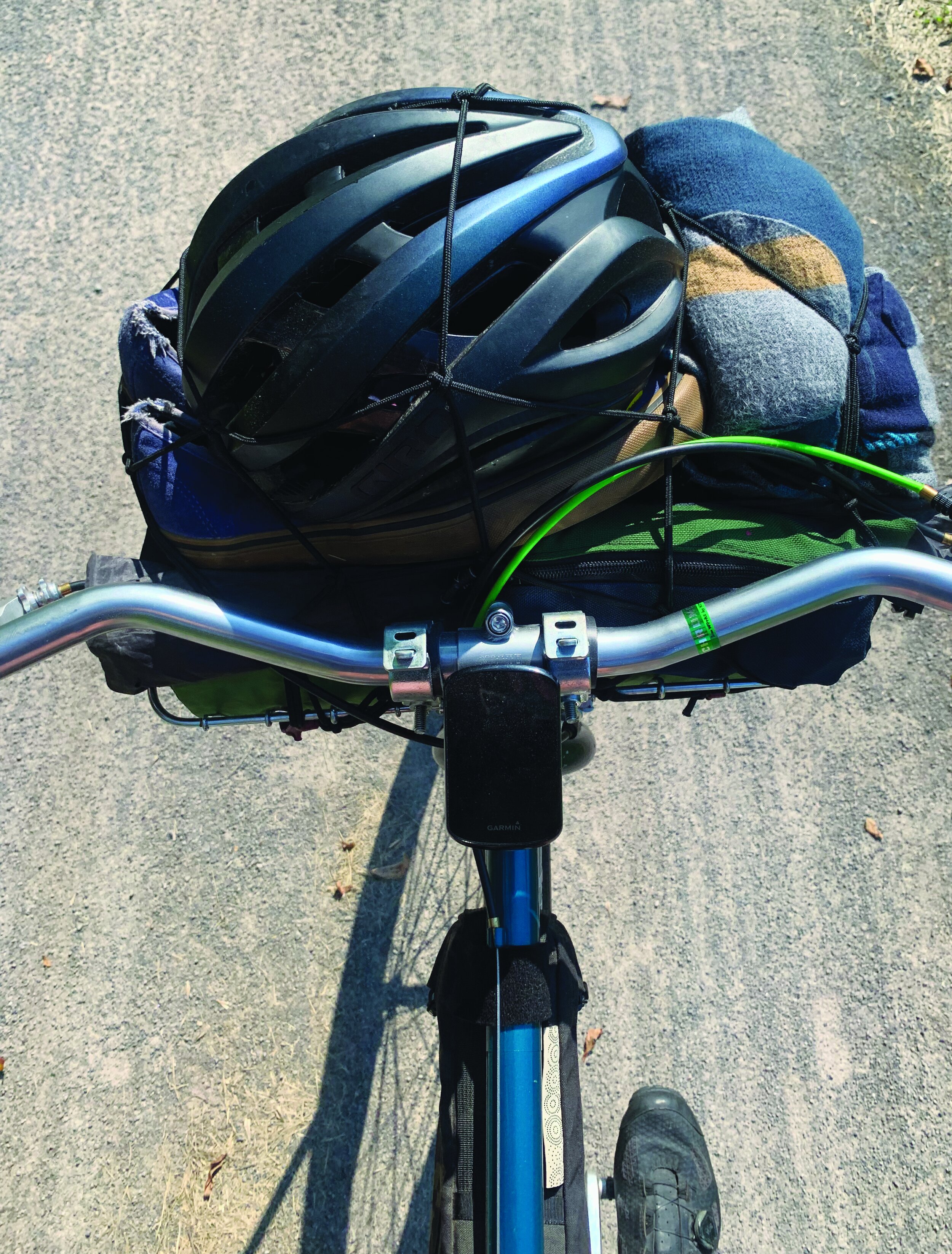
It took a couple of years and some false starts before I could pull my own shit together and make good on a plan that a longtime friend and I had made to ride the a good amount of this new path the 250 miles from Buffalo to Utica. We added another rider to our group, set a date for early September, and figured on a loose timeline for our finish.

Within an hour of my flight landing, I’d assembled my bicycle and met up with the crew. Riding through Buffalo to the start of our trip, the scene felt familiar to what I knew. Old architecture, big and important looking buildings, warehouses, blue collar, and low-income neighborhoods.
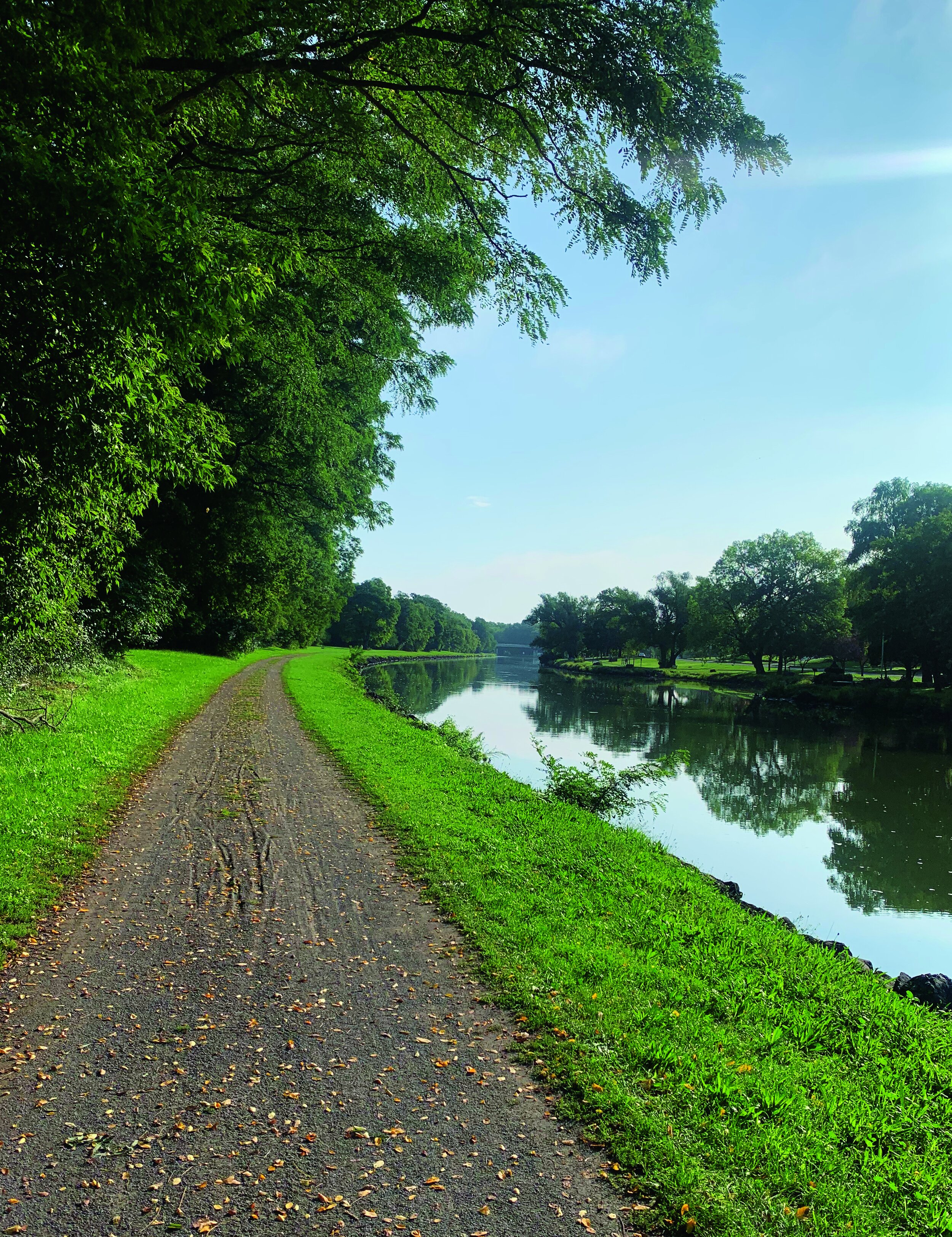
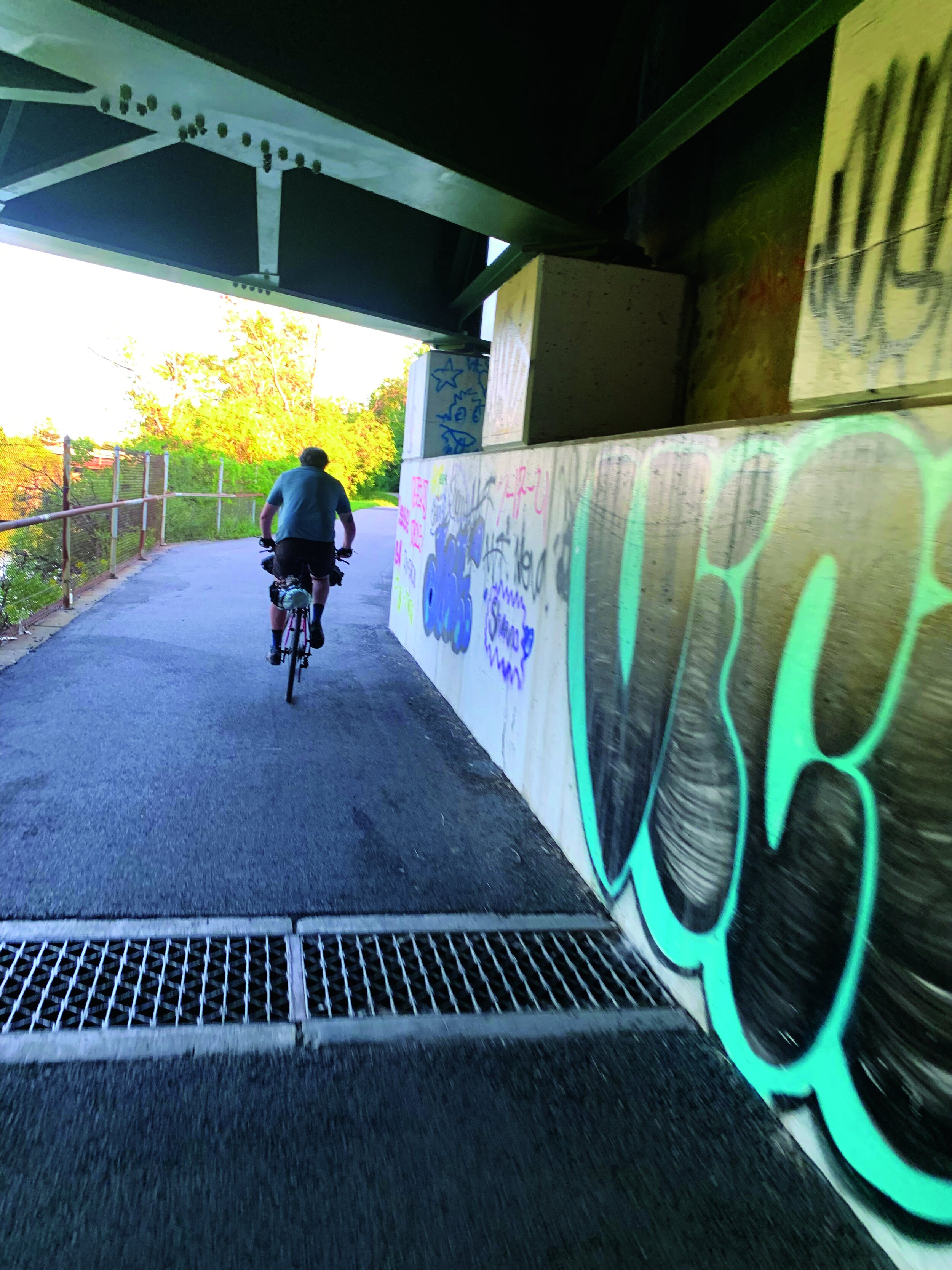
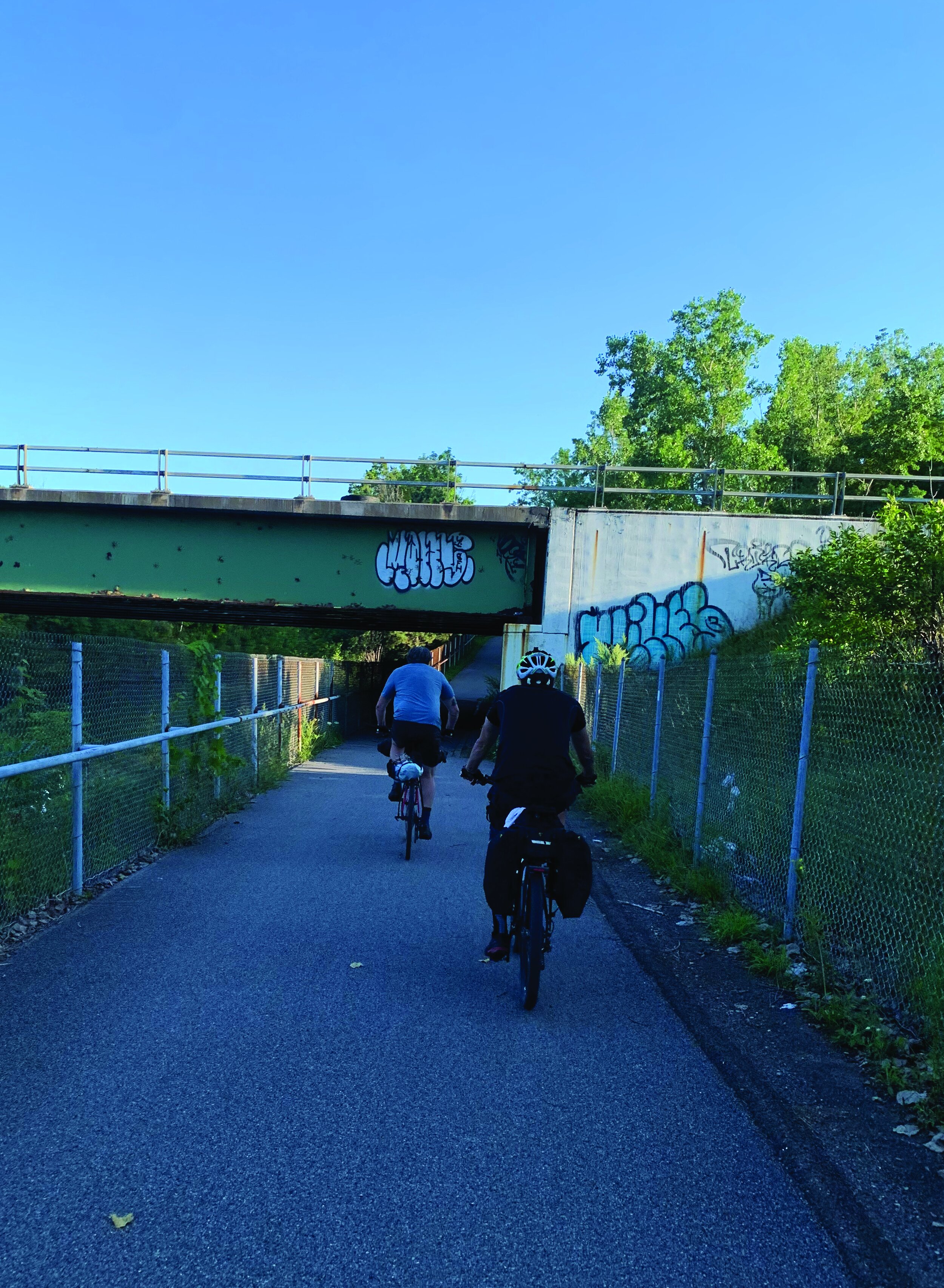
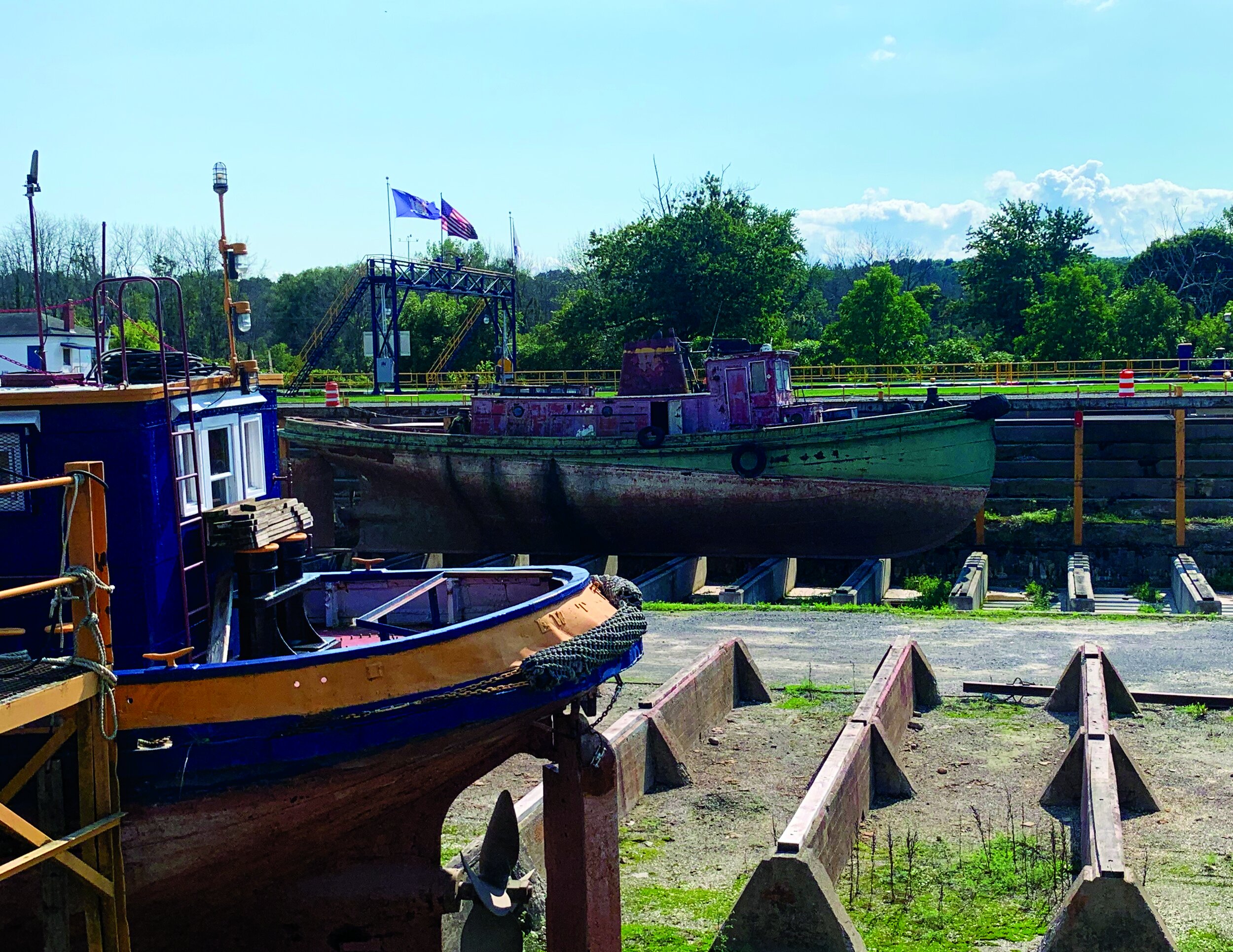
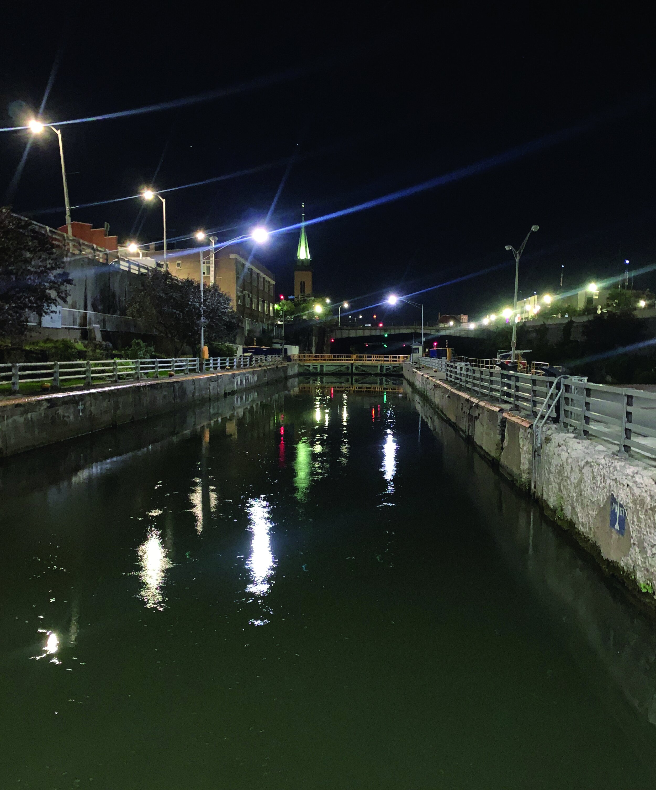
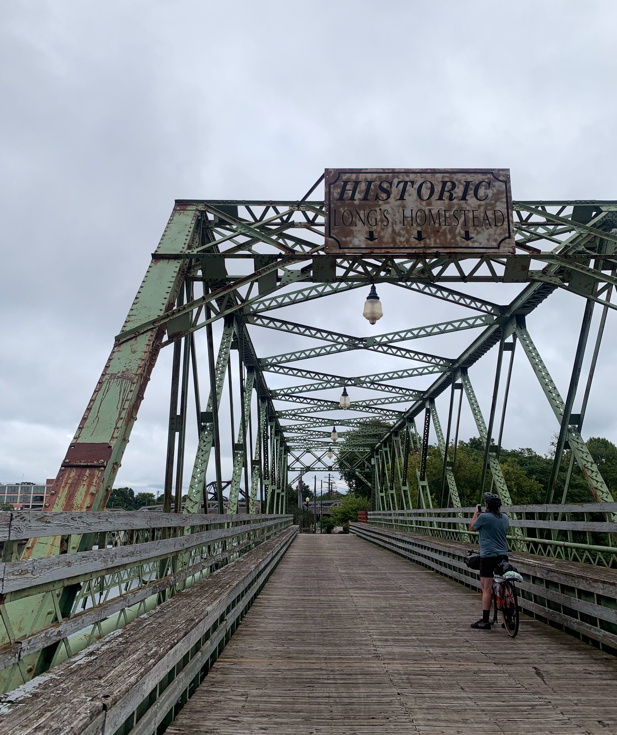
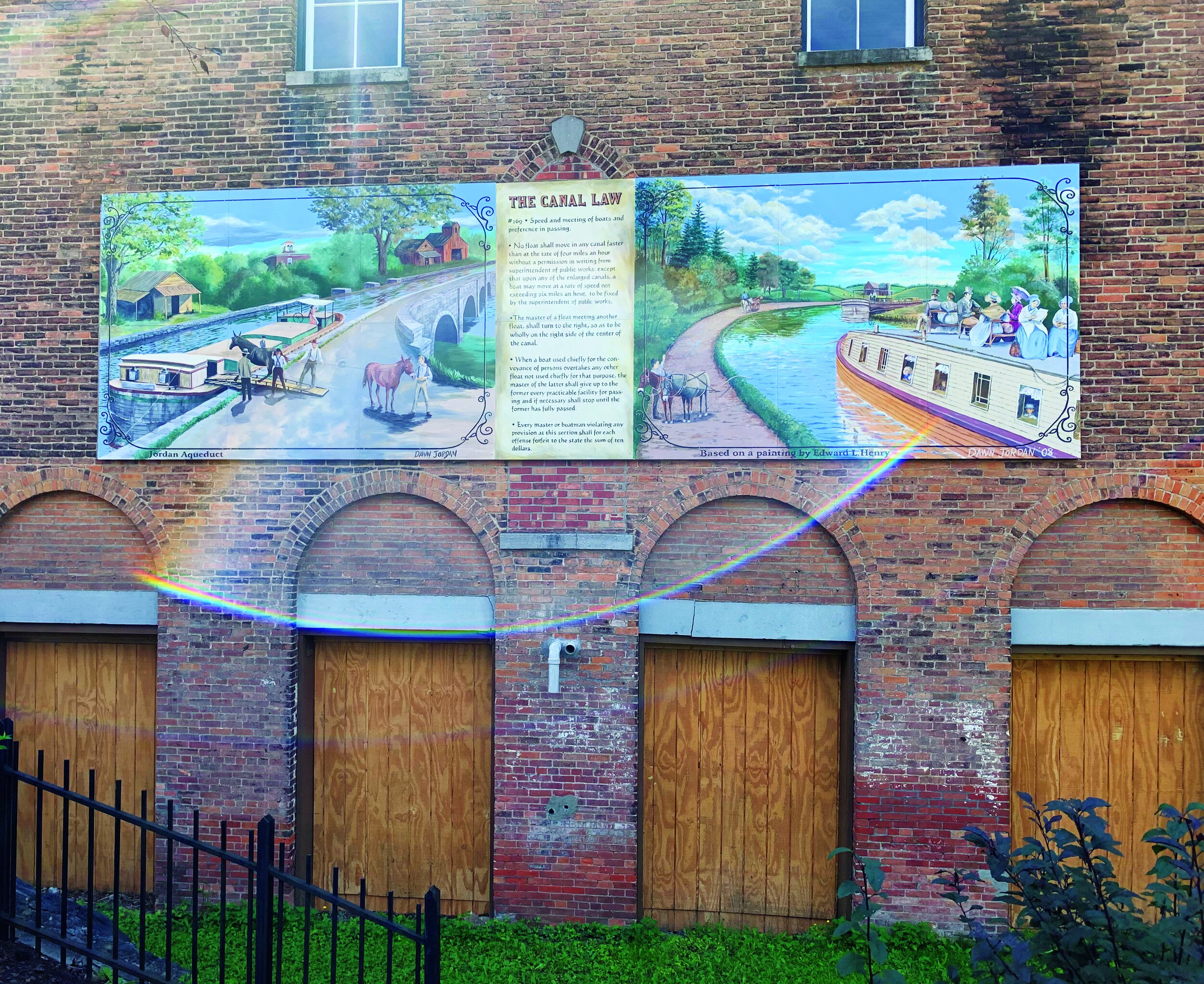
Shortly we’re on the Shoreline Trail, which’ll take us to the Erie Canalway trail and Eastward. It’s well paved, clean, and signage is plentiful and straightforward. Despite the day’s drizzle, there are decent groups of cyclists, runners, walkers, and gawkers. First days out can sometimes be slow. A late start and shaking out mechanical issues were definitely a thing. We made it to Lockport after dark, taking the path over bridges and alongside the town’s namesake massive canal locks to find a tucked away place to camp for the night. Waking up was nicer than going to sleep and popping out into this typically cute and quiet mill town for breakfast, it was striking how much local pride there was in the canal path. This became a theme with a lot of the towns that we passed through. We cruised along covering easy miles on paved and crushed stone pathways. Going our own pace and reconvening for food, we’d either run into other groups of riders doing the same thing as we were, locals out enjoying their stretch of trail, or even just interested and supportive townies that are happy to chat and point you in the direction of a decent cup of coffee.

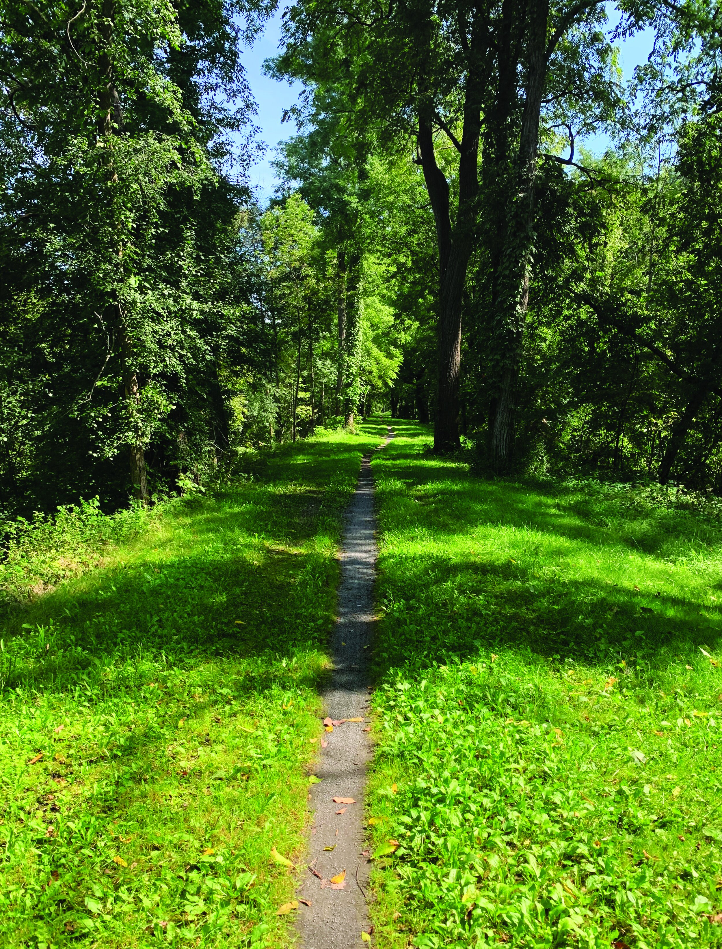
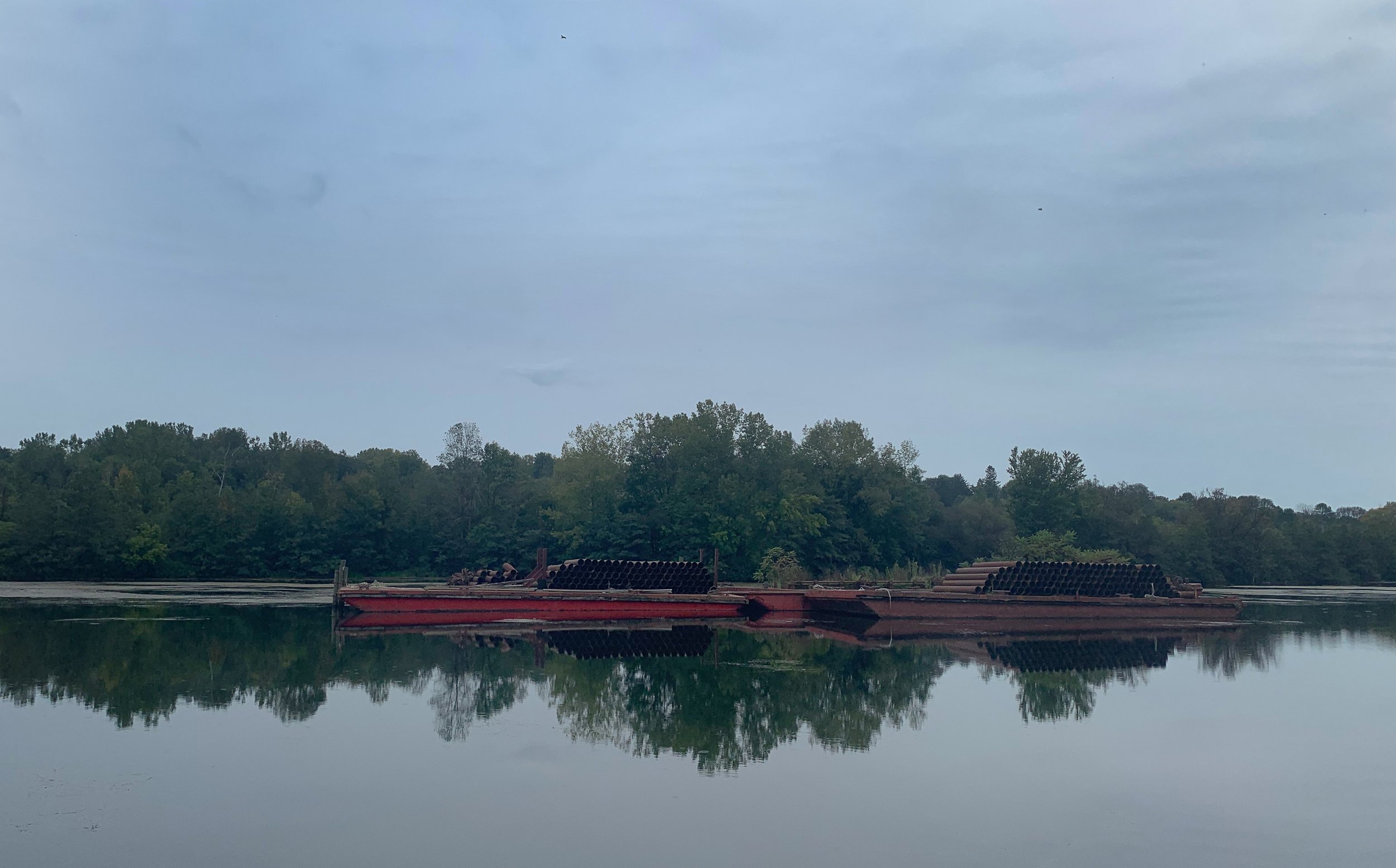
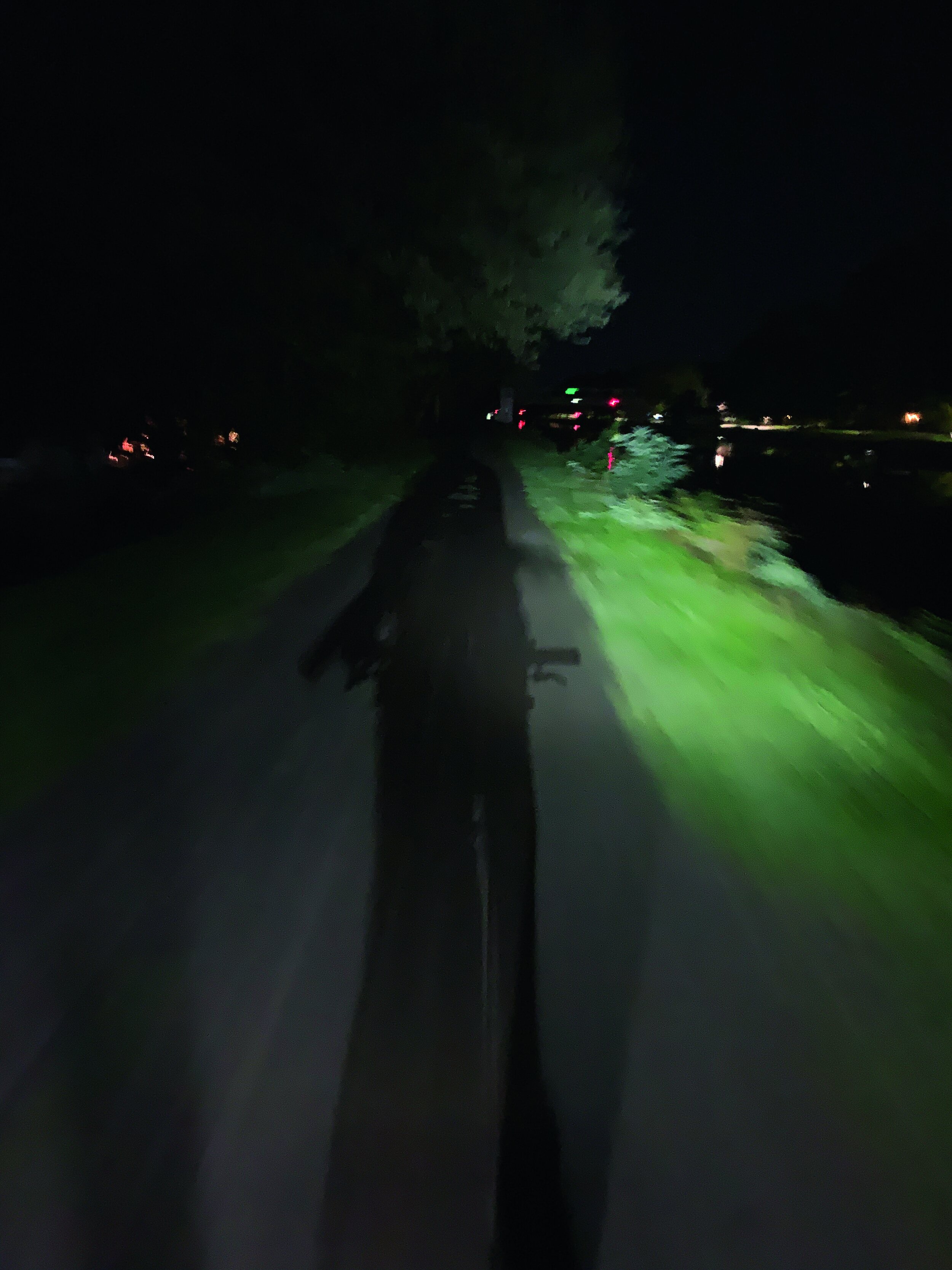
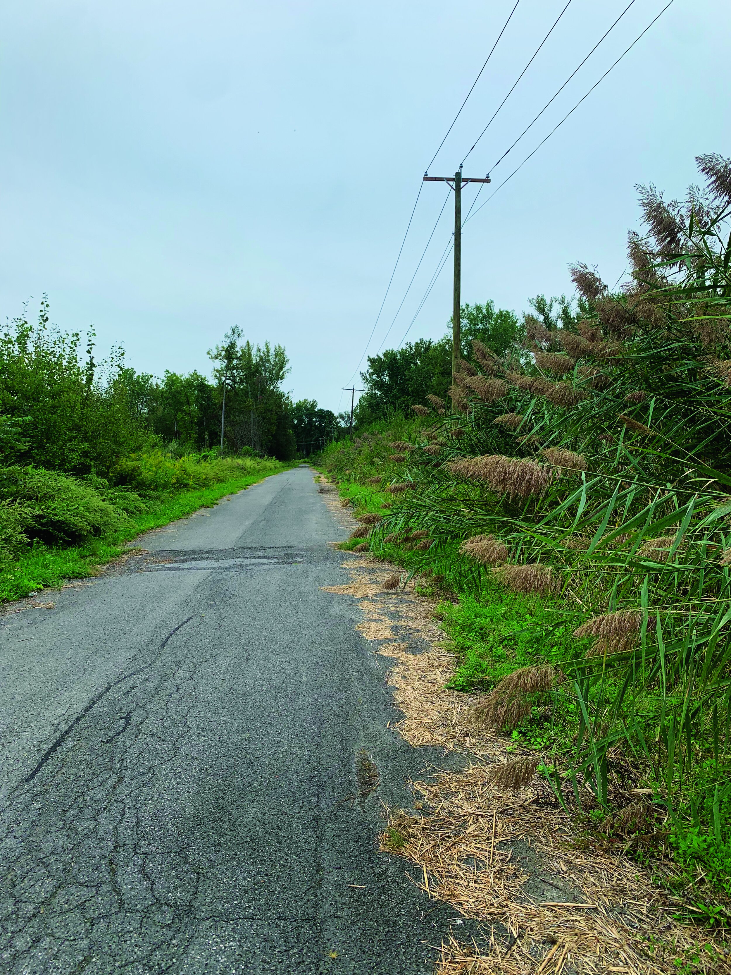
Over the next few days, we slept wherever seemed appropriate, pushing off into humid mornings. Beyond our halfway point, the path becomes more of a trail. Vines clinging to trees that close in on the dark, dark ribbon of dirt that we find ourselves traveling upon. Passing through marshland, turtles warming themselves on logs, herons creeping on toads, tall grasses, and the clouds of mosquitos that swarm amongst their fronds. Tributaries feeding into and out of disused parts of the very earliest parts of the canal, now disused and returning to nature.

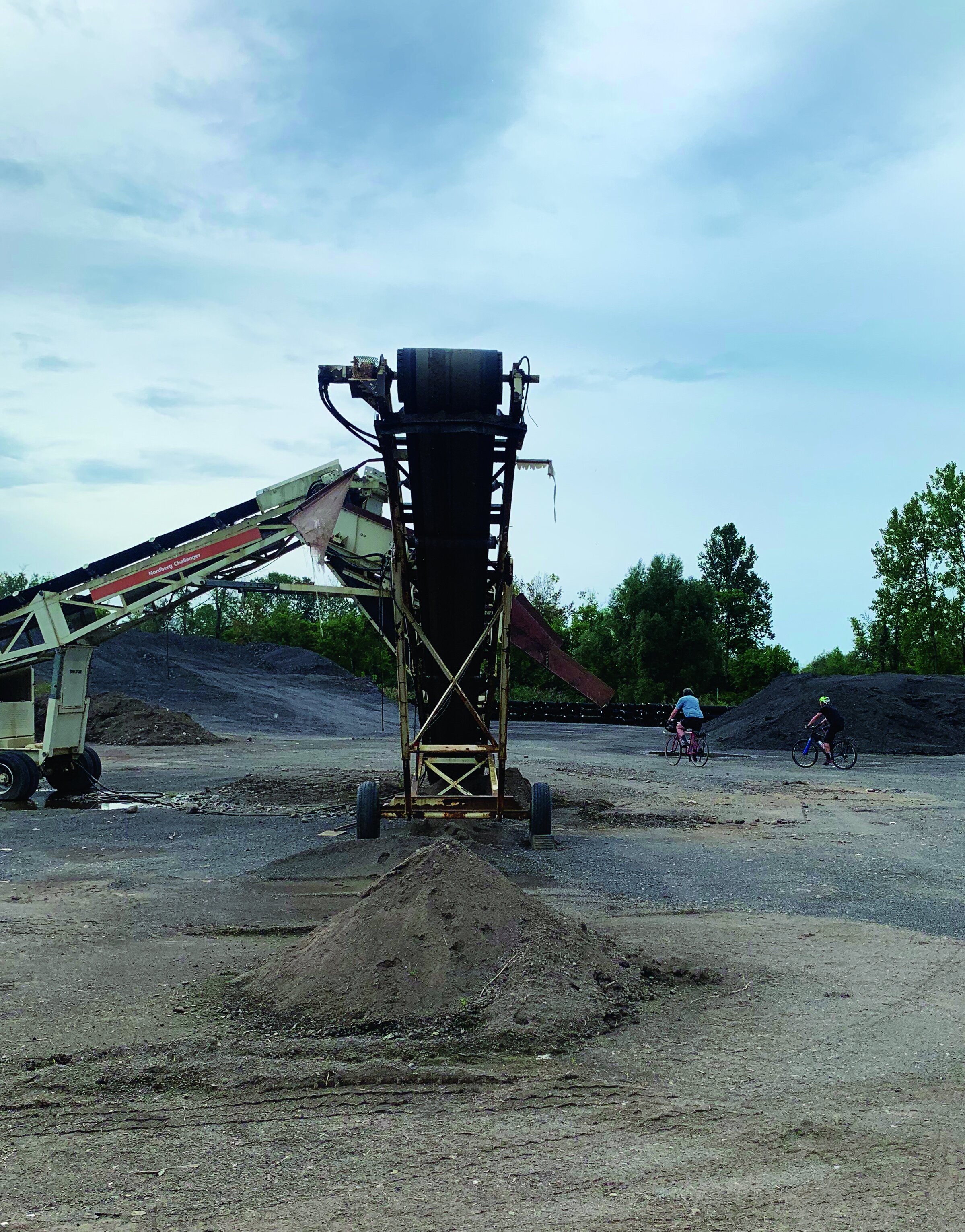
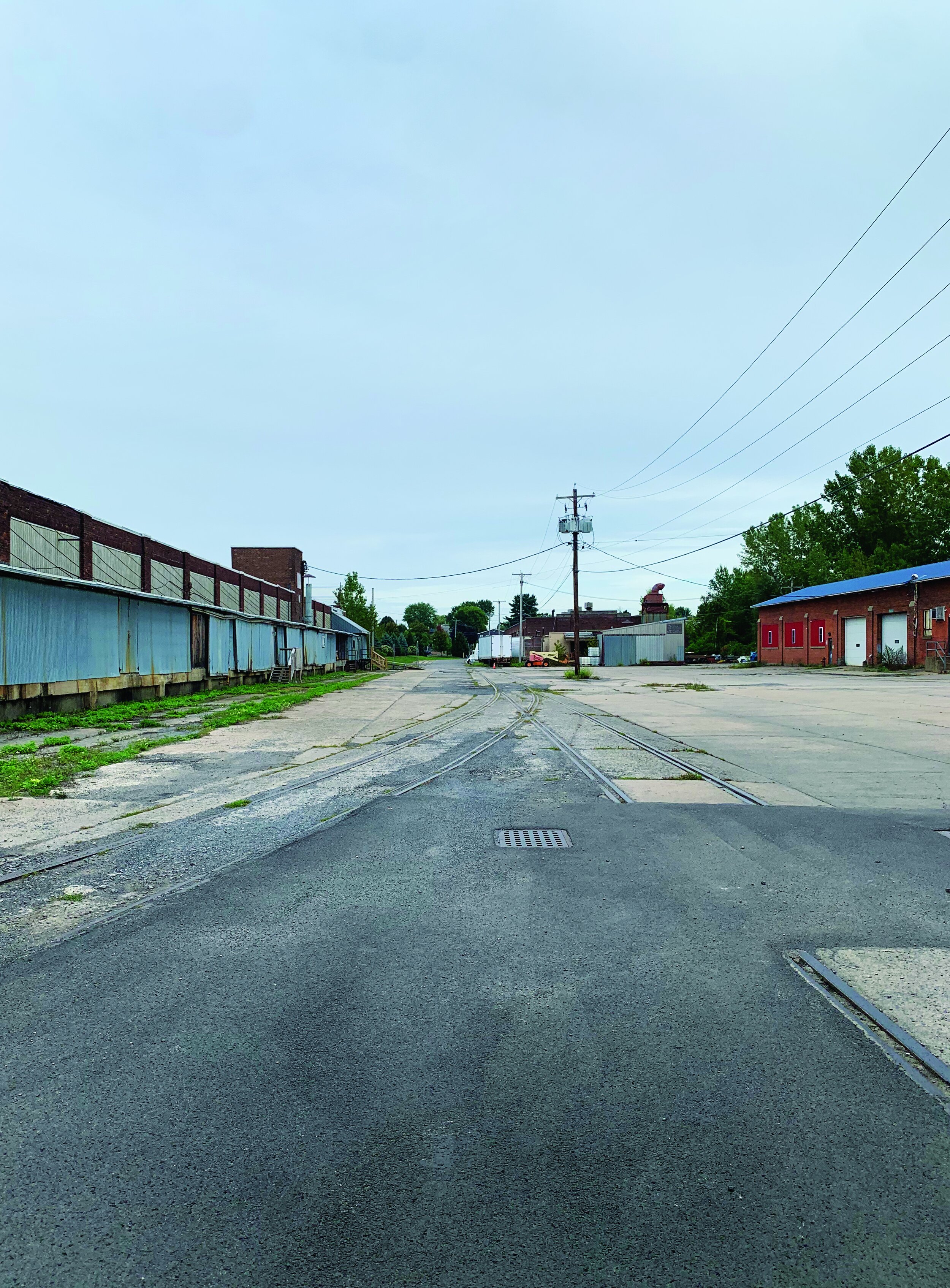
Entering the Mohawk Valley, the path becomes less about leisure and more mixed use in the loosest sense of the term. Riding through municipal dirt piles, past shuttered factories, back door access points to weekend party spots, and hustles of questionable legitimacy. Heading into the home stretch, we detour off of the path and onto Barnes Ave. The old lots filled with rotting cars are long gone, more tall grass and cattails take their place. Up and over the train tracks I used to walk along as a kid and out into Utica proper, I start to reflect on how these spaces that were so significant to me have changed. It’s subtle, but I credit the revitalization of the path with some of that transformation. It’s about land use and shifting priorities. I don’t know about the machinations behind the Empire State trail project but can see clearly that it brings folks joy and connects communities in ways that maybe hasn’t been a thing for a long time.